Geolocate

Badoda topographic map

Click on the map to display elevation.

About this map

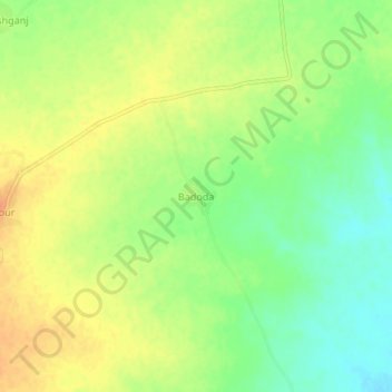
Name: Badoda topographic map, elevation, terrain.

Location: Badoda, Piploda Tahsil, Ratlam, Madhya Pradesh, 457331, India (23.54193 74.91075 23.58193 74.95075)

Average elevation: 1,739 ft

Minimum elevation: 1,673 ft

Maximum elevation: 1,798 ft

Gear up for your next adventure:

🥾Women's Hiking Boots - Top-rated trail boots with ankle support and superior grip
🧷Carabiner Set - Durable clips for gear attachment
🚗GPS Dash Cams - Record your scenic drives through mountain passes and canyons
🏕️Family Camping Gear - Essentials for group camping trips
🌲Outdoor Survival Books - Best books on survival skills

As an Amazon Associate, this site earns from qualifying purchases at no extra cost to you.