Geolocate

Iten topographic map

Click on the map to display elevation.

About this map
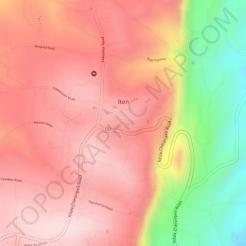
Name: Iten topographic map, elevation, terrain.

Location: Iten, Elgeyo-Marakwet County, Kenya (0.66406 35.49880 0.67736 35.51668)

Average elevation: 7,493 ft

Minimum elevation: 6,749 ft

Maximum elevation: 7,844 ft

Gear up for your next adventure:

🪵Folding Camp Saw - Compact saw for wood and campsite work
💧Water Purification System - Clean water on the trail with reliable purifiers
🚑Emergency Bivvies - Heat-reflective sleeping bags for survival situations
😴Insulated Sleeping Pads - Compact and warm pads for high-elevation camping
🪶Multi‑Purpose Knife - Useful blade for camp and trail

As an Amazon Associate, this site earns from qualifying purchases at no extra cost to you.