Geolocate

Arwas topographic map

Click on the map to display elevation.

About this map

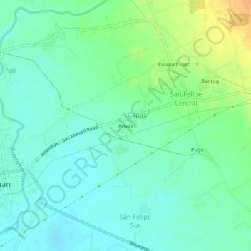
Name: Arwas topographic map, elevation, terrain.

Location: Arwas, Capas, Pangasinan, Ilocos Region, 2436, Philippines (16.03371 120.59388 16.07371 120.63388)

Average elevation: 148 ft

Minimum elevation: 108 ft

Maximum elevation: 226 ft

Gear up for your next adventure:

👟Men's Trail Runners - Lightweight footwear for fast-paced exploration and light hiking
📖Nature Tracking Books - Learn to track wildlife and terrain
😴Insulated Sleeping Pads - Compact and warm pads for high-elevation camping
💧Water Filtration Bottles - Safely drink from streams and lakes while exploring
🚗GPS Dash Cams - Record your scenic drives through mountain passes and canyons

As an Amazon Associate, this site earns from qualifying purchases at no extra cost to you.