Geolocate

Prospect topographic map

Click on the map to display elevation.

About this map

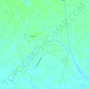
Name: Prospect topographic map, elevation, terrain.

Location: Prospect, Robeson County, North Carolina, United States (34.71083 -79.23949 34.74845 -79.21113)

Average elevation: 194 ft

Minimum elevation: 180 ft

Maximum elevation: 207 ft

Robeson County trails, hiking, mountain biking, running and outdoor activities

Gear up for your next adventure:

🪶Paracord Bracelet - Survival bracelet with built‑in tools
🪶Thermal Camp Blanket - Extra warmth for cold nights
🛶Inflatable Kayak - Portable kayak for rivers, lakes, and expeditions
🎒Outdoor Daypacks - Lightweight backpacks designed for carrying maps and essential gear
💧Water Purification System - Clean water on the trail with reliable purifiers

As an Amazon Associate, this site earns from qualifying purchases at no extra cost to you.