
Thank you for supporting this site ❤️
Make a donation
Make a donation
Gear up for your next adventure:
As an Amazon Associate, this site earns from qualifying purchases at no extra cost to you.
Pontedeume topographic map
Click on the map to display elevation.
Thank you for supporting this site ❤️
Make a donation
Make a donation
Gear up for your next adventure:
As an Amazon Associate, this site earns from qualifying purchases at no extra cost to you.
About this map
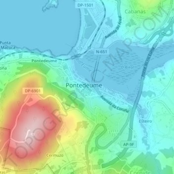
Name: Pontedeume topographic map, elevation, terrain.
Location: Pontedeume, Eume, La Coruña, Galicia, 15600, España (43.40116 -8.18131 43.41273 -8.15986)
Average elevation: 240 ft
Minimum elevation: -3 ft
Maximum elevation: 984 ft
Thank you for supporting this site ❤️
Make a donation
Make a donation
Gear up for your next adventure:
As an Amazon Associate, this site earns from qualifying purchases at no extra cost to you.