
Buffalo Springs Lake Dam topographic map
Interactive map
Click on the map to display elevation.
About this map
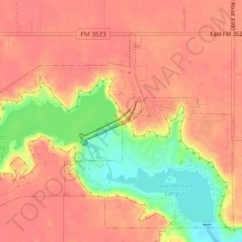
Name: Buffalo Springs Lake Dam topographic map, elevation, terrain.
Average elevation: 3,081 ft
Minimum elevation: 2,933 ft
Maximum elevation: 3,140 ft
Lubbock County trails, hiking, mountain biking, running and outdoor activities