Geolocate

Parudur topographic map

Click on the map to display elevation.

About this map

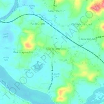
Name: Parudur topographic map, elevation, terrain.

Location: Parudur, Pattambi, Palakkad district, Kerala, 679305, India (10.80877 76.09670 10.84877 76.13670)

Average elevation: 72 ft

Minimum elevation: 13 ft

Maximum elevation: 276 ft

Other topographic maps

Click on a map to view its topography, its elevation and its terrain.

Pattambi

India > Kerala > Pattambi

Average elevation: 125 ft

Gear up for your next adventure:

🕶️Glacier Sunglasses - Side shields to protect eyes from high-altitude snow glare
🏕️Tent Footprint - Protect your tent base from wear
🌧️Backpack Rain Cover - Keep gear dry in wet weather
🗻Climbing Gear Basics - Essential gear for beginner climbers
Solar GPS Watches - Advanced multisport watches with built-in topographic maps

As an Amazon Associate, this site earns from qualifying purchases at no extra cost to you.