Geolocate

Cuba topographic map

Click on the map to display elevation.

About this map

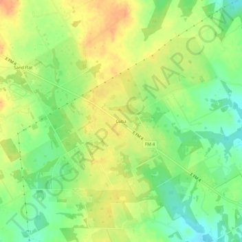
Name: Cuba topographic map, elevation, terrain.

Location: Cuba, Johnson County, Texas, United States (32.29403 -97.28918 32.33403 -97.24918)

Average elevation: 804 ft

Minimum elevation: 732 ft

Maximum elevation: 869 ft

Johnson County trails, hiking, mountain biking, running and outdoor activities

Other topographic maps

Click on a map to view its topography, its elevation and its terrain.

Joshua

United States > Texas > Johnson County

Average elevation: 883 ft

Cleburne

United States > Texas > Johnson County

Average elevation: 820 ft

Godley

United States > Texas > Johnson County

Average elevation: 942 ft

Rio Vista

United States > Texas > Johnson County

Average elevation: 719 ft

Grandview

United States > Texas > Johnson County

Average elevation: 676 ft

Gear up for your next adventure:

🌡️Portable Weather Meter - Track weather conditions on the trail
🥾Men's Hiking Boots - Durable, waterproof footwear for rugged terrain and steep inclines
👓Polarized Sunglasses - Outdoor sunglasses for glare reduction
🌐World Map Poster - Decorative world maps with topographic info
🔦LED Headlamp - Bright and durable LED headlamp for night navigation

As an Amazon Associate, this site earns from qualifying purchases at no extra cost to you.