Geolocate

Perian topographic map

Click on the map to display elevation.

About this map

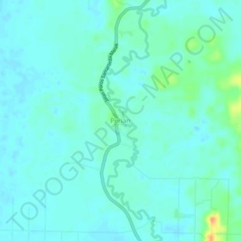
Name: Perian topographic map, elevation, terrain.

Location: Perian, Kutai Kartanegara, East Kalimantan, Kalimantan, Indonesia (-0.55204 116.39981 -0.51204 116.43981)

Average elevation: 43 ft

Minimum elevation: 20 ft

Maximum elevation: 148 ft

Other topographic maps

Click on a map to view its topography, its elevation and its terrain.

Gear up for your next adventure:

🎒Outdoor Daypacks - Lightweight backpacks designed for carrying maps and essential gear
📷Action Camera - Capture your outdoor adventures in HD
🩳Quick‑Dry Hiking Shorts - Comfortable and quick‑dry shorts for summer hiking
🔦LED Headlamp - Bright and durable LED headlamp for night navigation
❄️Traction Cleats - Prevent slips on icy trails during winter hikes

As an Amazon Associate, this site earns from qualifying purchases at no extra cost to you.