Geolocate

Lake Murray topographic map

Click on the map to display elevation.

👉 Easily get elevation data in JSON, GeoTIFF and KML formats using Elevation API
Thank you for supporting this site ❤️
Make a donation

About this map

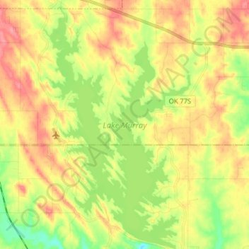
Name: Lake Murray topographic map, elevation, terrain.

Location: Lake Murray, Ardmore, Carter County, Oklahoma, United States (34.02628 -97.11394 34.13259 -97.03739)

Average elevation: 787 ft

Minimum elevation: 656 ft

Maximum elevation: 909 ft

Carter County trails, hiking, mountain biking, running and outdoor activities

Gear up for your next adventure:

🎒Day Hiking Backpack - Lightweight backpack perfect for day trips and outdoor adventures
😴Insulated Sleeping Pads - Compact and warm pads for high-elevation camping
🧴Hand Sanitizer - Keep hands clean while hiking
🧭Outdoor Navigation Book - Learn advanced navigation skills
🚁Photography Drones - Capture stunning aerial views of landforms and topography

As an Amazon Associate, this site earns from qualifying purchases at no extra cost to you.