
Snowdonia topographic map
Click on the map to display elevation.
About this map
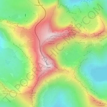
Name: Snowdonia topographic map, elevation, terrain.
Location: Snowdonia, Gwynedd, Wales, LL55 4UL, United Kingdom (53.07118 -4.07422 53.07128 -4.07412)
Average elevation: 2,297 ft
Minimum elevation: 1,375 ft
Maximum elevation: 3,481 ft
Other topographic maps
Click on a map to view its topography, its elevation and its terrain.