
Delphi topographic map
Click on the map to display elevation.
About this map
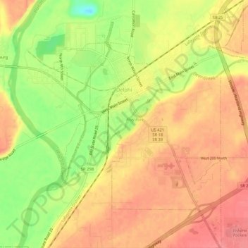
Name: Delphi topographic map, elevation, terrain.
Location: Delphi, Carroll County, Indiana, 46923, United States (40.56189 -86.68996 40.60200 -86.64955)
Average elevation: 587 ft
Minimum elevation: 433 ft
Maximum elevation: 679 ft
Carroll County trails, hiking, mountain biking, running and outdoor activities
Other topographic maps
Click on a map to view its topography, its elevation and its terrain.