Geolocate

El Ojo topographic map

Click on the map to display elevation.

About this map

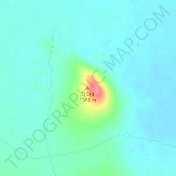
Name: El Ojo topographic map, elevation, terrain.

Location: El Ojo, Buenaventura, Chihuahua, Mexico (30.39788 -107.35489 30.39798 -107.35479)

Average elevation: 4,295 ft

Minimum elevation: 4,255 ft

Maximum elevation: 4,498 ft

Gear up for your next adventure:

📶Vehicle Signal Boosters - Improve reception in rural areas while driving to trailheads
👓Polarized Sunglasses - Outdoor sunglasses for glare reduction
🌄Hiking Binoculars - Compact binoculars for scenic views and trail spotting
📌Outdoor GPS Map App - Apps and devices for digital topographic navigation
👟Trail Running Shoes - Lightweight shoes for trail runners

As an Amazon Associate, this site earns from qualifying purchases at no extra cost to you.