
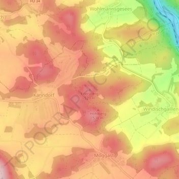
Ellersberg topographic map
Click on the map to display elevation.
About this map
Name: Ellersberg topographic map, elevation, terrain.
Average elevation: 1,542 ft
Minimum elevation: 1,010 ft
Maximum elevation: 1,831 ft
Other topographic maps
Click on a map to view its topography, its elevation and its terrain.
Breitenbach
Deutschland > Bayern > Landkreis Forchheim > Ebermannstadt > Breitenbach
Average elevation: 1,207 ft