
Lancaster topographic map
Click on the map to display elevation.
About this map
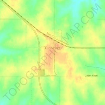
Name: Lancaster topographic map, elevation, terrain.
Location: Lancaster, Atchison County, Kansas, United States (39.56566 -95.30702 39.57737 -95.29990)
Average elevation: 1,129 ft
Minimum elevation: 1,063 ft
Maximum elevation: 1,171 ft
Atchison County trails, hiking, mountain biking, running and outdoor activities
Other topographic maps
Click on a map to view its topography, its elevation and its terrain.