
Millerville topographic map
Click on the map to display elevation.
About this map
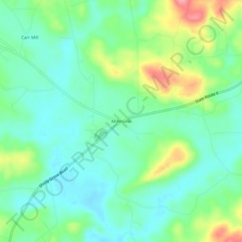
Name: Millerville topographic map, elevation, terrain.
Location: Millerville, Clay County, Alabama, 36267, United States (33.17151 -85.94580 33.21151 -85.90580)
Average elevation: 860 ft
Minimum elevation: 755 ft
Maximum elevation: 1,102 ft
Clay County trails, hiking, mountain biking, running and outdoor activities
Other topographic maps
Click on a map to view its topography, its elevation and its terrain.