
Biola topographic map
Click on the map to display elevation.
Biola
Biola is a census-designated place (CDP) in Fresno County, California, United States. The population was 1,623 at the 2010 census, up from 1,037 in 2000. Biola is located 6 miles (9.7 km) north-northeast of Kerman, at an elevation of 253 feet (77 m).
About this map
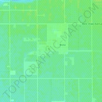
Name: Biola topographic map, elevation, terrain.
Location: Biola, Fresno County, California, 93606, United States (36.79323 -120.02915 36.80773 -120.01455)
Average elevation: 256 ft
Minimum elevation: 236 ft
Maximum elevation: 269 ft
Fresno County trails, hiking, mountain biking, running and outdoor activities