
Make a donation
Gear up for your next adventure:
As an Amazon Associate, this site earns from qualifying purchases at no extra cost to you.
Bab El Assa topographic map
Click on the map to display elevation.
Make a donation
Gear up for your next adventure:
As an Amazon Associate, this site earns from qualifying purchases at no extra cost to you.
Bab El Assa
Bab El Assa est située dans la région de M'Sirda T'hata (ancien nom berbère "El Malha"), surplombé par les monts Bouzaki et Bessam. Le village se situe à 7 km à vol d'oiseau au sud du Djebel Zendal, massif du littoral culminant à 600 m d'altitude.
Make a donation
Gear up for your next adventure:
As an Amazon Associate, this site earns from qualifying purchases at no extra cost to you.
About this map
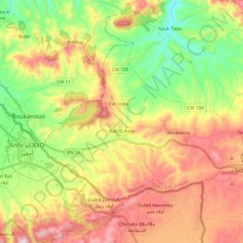
Name: Bab El Assa topographic map, elevation, terrain.
Location: Bab El Assa, Daïra Bab El Assa, Tlemcen, Algérie (34.92449 -2.09417 35.01869 -1.91740)
Average elevation: 1,138 ft
Minimum elevation: 144 ft
Maximum elevation: 2,329 ft
Make a donation
Gear up for your next adventure:
As an Amazon Associate, this site earns from qualifying purchases at no extra cost to you.