
Badger topographic map
Click on the map to display elevation.
About this map
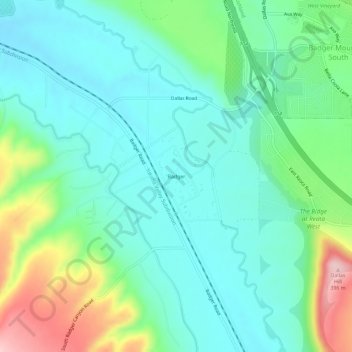
Name: Badger topographic map, elevation, terrain.
Location: Badger, Benton County, Washington, United States (46.18672 -119.38194 46.22672 -119.34194)
Average elevation: 807 ft
Minimum elevation: 623 ft
Maximum elevation: 1,319 ft
Benton County trails, hiking, mountain biking, running and outdoor activities
Other topographic maps
Click on a map to view its topography, its elevation and its terrain.