
Thank you for supporting this site ❤️
Make a donation
Make a donation
Gear up for your next adventure:
As an Amazon Associate, this site earns from qualifying purchases at no extra cost to you.
Turpin topographic map
Click on the map to display elevation.
Thank you for supporting this site ❤️
Make a donation
Make a donation
Gear up for your next adventure:
As an Amazon Associate, this site earns from qualifying purchases at no extra cost to you.
About this map
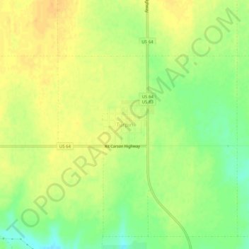
Name: Turpin topographic map, elevation, terrain.
Location: Turpin, Beaver County, Oklahoma, 73950, United States (36.84668 -100.89810 36.88668 -100.85810)
Average elevation: 2,743 ft
Minimum elevation: 2,684 ft
Maximum elevation: 2,779 ft
Beaver County trails, hiking, mountain biking, running and outdoor activities
Thank you for supporting this site ❤️
Make a donation
Make a donation
Gear up for your next adventure:
As an Amazon Associate, this site earns from qualifying purchases at no extra cost to you.