
Tange topographic map
Click on the map to display elevation.
About this map
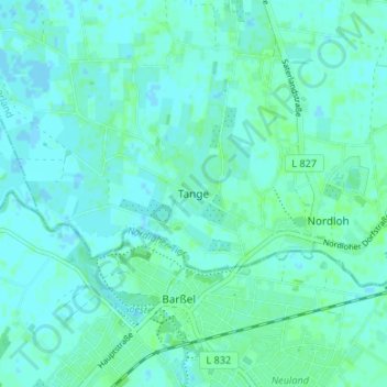
Name: Tange topographic map, elevation, terrain.
Location: Tange, Apen, Landkreis Ammerland, Lower Saxony, 26689, Germany (53.16089 7.72595 53.20089 7.76595)
Average elevation: 10 ft
Minimum elevation: -7 ft
Maximum elevation: 23 ft