
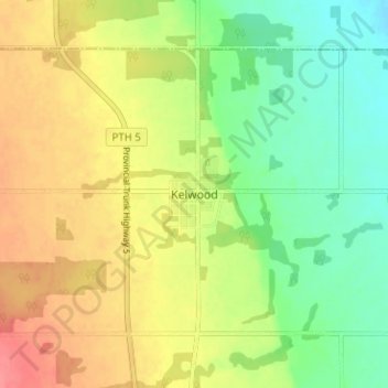
Kelwood topographic map
Interactive map
Click on the map to display elevation.
About this map
Name: Kelwood topographic map, elevation, terrain.
Average elevation: 1,132 ft
Minimum elevation: 1,033 ft
Maximum elevation: 1,237 ft
Other topographic maps
Click on a map to view its topography, its elevation and its terrain.
Rowland Lake
Canada > Manitoba > Division No. 15 > Rural Municipality of Rosedale
Rowland Lake, Rural Municipality of Rosedale, Division No. 15, Manitoba, Canada
Average elevation: 2,270 ft
Rural Municipality of Rosedale
Canada > Manitoba > Division No. 15 > Rural Municipality of Rosedale
Rural Municipality of Rosedale, Division No. 15, Manitoba, R0J 0Y0, Canada
Average elevation: 1,588 ft