
Múcura topographic map
Interactive map
Click on the map to display elevation.
About this map
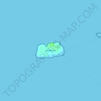
Name: Múcura topographic map, elevation, terrain.
Location: Múcura, Bolívar, Colombie (9.77951 -75.87641 9.78401 -75.86856)
Average elevation: 0 ft
Minimum elevation: 0 ft
Maximum elevation: 26 ft
Other topographic maps
Click on a map to view its topography, its elevation and its terrain.
San Estanislao
San Estanislao, Dique, Bolívar, RAP Caribe, Colombie
Average elevation: 95 ft
San Juan Nepomuceno
San Juan Nepomuceno, Bolívar, Colombie
Average elevation: 495 ft