Geolocate

Coiro topographic map

Click on the map to display elevation.

About this map

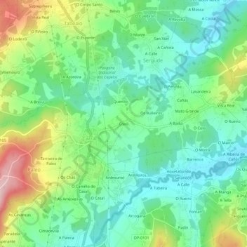
Name: Coiro topographic map, elevation, terrain.

Location: Coiro, Paleo, Carral, La Coruña, Galicia, 15175, España (43.21204 -8.36827 43.25204 -8.32827)

Average elevation: 433 ft

Minimum elevation: 164 ft

Maximum elevation: 1,004 ft

Gear up for your next adventure:

🛠️Outdoor Gear Repair Kit - Essential tools to fix gear on the trail
🔥Fast-Boil Camping Stoves - Efficient cooking systems for quick trail meals
🗺️NatGeo Topo Maps - High-quality waterproof printed topographic maps of US Parks
🪶Wildlife Field Guides - Learn animal tracking and species ID
🛌Ultralight Sleeping Bags - Compact down bags for cold nights in the wilderness

As an Amazon Associate, this site earns from qualifying purchases at no extra cost to you.