Geolocate

Dafdar topographic map

Click on the map to display elevation.

Dafdar

Dafdar village lies at an altitude of 3,400 m above sea level, just to the east of the Karakoram Highway.[9]

About this map

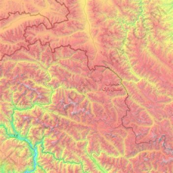
Name: Dafdar topographic map, elevation, terrain.

Location: Dafdar, Taxkorgan Tajik Autonomous County, Kashgar Prefecture, Xinjiang, China (35.59484 74.45597 37.43567 77.06169)

Average elevation: 14,488 ft

Minimum elevation: 4,262 ft

Maximum elevation: 27,913 ft

Gear up for your next adventure:

📶Satellite Messenger - Communication device off‑grid
GPS Sports Watch - GPS watch for running, hiking and training
🏕️Tent Footprint - Protect your tent base from wear
🔋Rechargeable Batteries - Power up your outdoor devices
🛰️Handheld GPS Units - Professional satellite navigators for precise backcountry mapping

As an Amazon Associate, this site earns from qualifying purchases at no extra cost to you.