Geolocate

Manchac topographic map

Click on the map to display elevation.

About this map

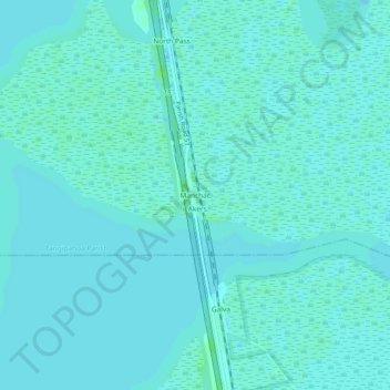
Name: Manchac topographic map, elevation, terrain.

Location: Manchac, Tangipahoa Parish, Louisiana, 70421, United States (30.27159 -90.42203 30.31159 -90.38203)

Average elevation: 7 ft

Minimum elevation: 0 ft

Maximum elevation: 26 ft

Tangipahoa Parish trails, hiking, mountain biking, running and outdoor activities

Other topographic maps

Click on a map to view its topography, its elevation and its terrain.

Tickfaw

United States > Louisiana > Tangipahoa Parish

Average elevation: 62 ft

Kentwood

United States > Louisiana > Tangipahoa Parish

Average elevation: 226 ft

Gear up for your next adventure:

🌐World Map Poster - Decorative world maps with topographic info
🪶Camping Sleeping Pad - Comfortable sleeping pad for backpacking
🔋Solar Power Banks - Keep your GPS and phone charged in remote wilderness areas
📻Weather Alert Radios - Stay informed of storm risks while off-the-grid
🔋Rechargeable Batteries - Power up your outdoor devices

As an Amazon Associate, this site earns from qualifying purchases at no extra cost to you.