
Thank you for supporting this site ❤️
Make a donation
Make a donation
Gear up for your next adventure:
As an Amazon Associate, this site earns from qualifying purchases at no extra cost to you.
Tindi topographic map
Click on the map to display elevation.
Thank you for supporting this site ❤️
Make a donation
Make a donation
Gear up for your next adventure:
As an Amazon Associate, this site earns from qualifying purchases at no extra cost to you.
About this map
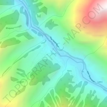
Name: Tindi topographic map, elevation, terrain.
Location: Tindi, Udaipur, Lahaul and Spiti, Himachal Pradesh, India (32.73836 76.43152 32.77836 76.47152)
Average elevation: 9,790 ft
Minimum elevation: 7,884 ft
Maximum elevation: 14,386 ft
Thank you for supporting this site ❤️
Make a donation
Make a donation
Gear up for your next adventure:
As an Amazon Associate, this site earns from qualifying purchases at no extra cost to you.