Geolocate

Dunagiri topographic map

Click on the map to display elevation.

About this map

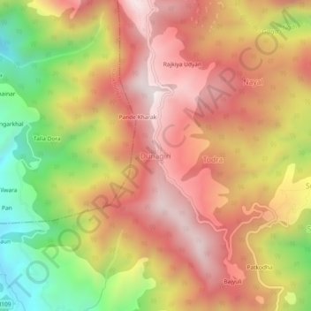
Name: Dunagiri topographic map, elevation, terrain.

Location: Dunagiri, Dwarahat, Almora, Uttarakhand, India (29.78316 79.43038 29.82316 79.47038)

Average elevation: 6,079 ft

Minimum elevation: 4,308 ft

Maximum elevation: 7,352 ft

Gear up for your next adventure:

📶Vehicle Signal Boosters - Improve reception in rural areas while driving to trailheads
🧢Outdoor Hiking Hat - Sun protection hat for outdoor explorers
🧭Hiking Compass - Precision compass for reliable navigation in the wilderness
🔥Plasma Lighters - Windproof lighters that work in any weather condition
🏕️Family Camping Gear - Essentials for group camping trips

As an Amazon Associate, this site earns from qualifying purchases at no extra cost to you.