Geolocate

Calantas topographic map

Click on the map to display elevation.

About this map

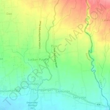
Name: Calantas topographic map, elevation, terrain.

Location: Calantas, Calaca, Batangas, Calabarzon, 4212, Philippines (13.95061 120.75765 13.99061 120.79765)

Average elevation: 266 ft

Minimum elevation: 62 ft

Maximum elevation: 558 ft

Gear up for your next adventure:

🩹Survival Bandages - High‑quality bandages for emergencies
🧷Carabiner Set - Durable clips for gear attachment
🪶Paracord Bracelet - Survival bracelet with built‑in tools
🧭Compass with Lanyard - Easy‑carry compass for navigation
🥾Women's Hiking Boots - Top-rated trail boots with ankle support and superior grip

As an Amazon Associate, this site earns from qualifying purchases at no extra cost to you.