Geolocate

Barandal topographic map

Click on the map to display elevation.

About this map

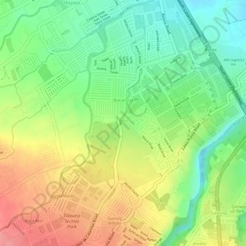
Name: Barandal topographic map, elevation, terrain.

Location: Barandal, Calamba, Laguna, Calabarzon, 4027, Philippines (14.18122 121.11798 14.20695 121.13613)

Average elevation: 269 ft

Minimum elevation: 115 ft

Maximum elevation: 436 ft

Other topographic maps

Click on a map to view its topography, its elevation and its terrain.

La Mesa

Philippines > Laguna > Calamba

Average elevation: 787 ft

88 Spa & Resort

Philippines > Laguna > Calamba

Average elevation: 272 ft

San Juan River

Philippines > Laguna > Calamba

Average elevation: 30 ft

Gear up for your next adventure:

🧣Hiking Neck Gaiter - Multi‑use neck protection for outdoor weather
🔋Rechargeable Batteries - Power up your outdoor devices
🪶Trail Camera - Capture wildlife on your hikes
🔥Plasma Lighters - Windproof lighters that work in any weather condition
🚪Portable Camp Chair - Foldable chair for comfort at camp

As an Amazon Associate, this site earns from qualifying purchases at no extra cost to you.