
Woods topographic map
Click on the map to display elevation.
About this map
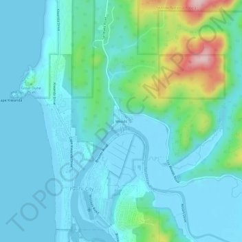
Name: Woods topographic map, elevation, terrain.
Location: Woods, Tillamook County, Oregon, 97315, United States (45.19321 -123.97425 45.23321 -123.93425)
Average elevation: 154 ft
Minimum elevation: -13 ft
Maximum elevation: 889 ft