
Fayette topographic map
Click on the map to display elevation.
About this map
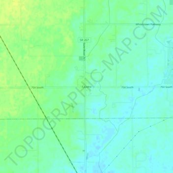
Name: Fayette topographic map, elevation, terrain.
Location: Fayette, Boone County, Indiana, United States (39.91115 -86.41722 39.95115 -86.37722)
Average elevation: 932 ft
Minimum elevation: 909 ft
Maximum elevation: 965 ft
Boone County trails, hiking, mountain biking, running and outdoor activities