Geolocate

Smelter topographic map

Click on the map to display elevation.

About this map

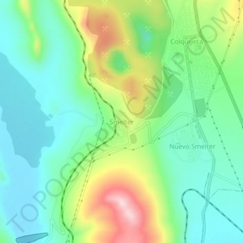
Name: Smelter topographic map, elevation, terrain.

Location: Smelter, Tinyahuarco, Provincia de Pasco, Pasco, Perú (-10.78560 -76.29347 -10.74560 -76.25347)

Average elevation: 13,907 ft

Minimum elevation: 13,583 ft

Maximum elevation: 14,616 ft

Gear up for your next adventure:

🔥Camping Stove - Portable stove for camping and backcountry cooking
📦Gear Storage Bags - Organize and protect outdoor equipment
🛡️Insect Repellent - Protection against bugs during outdoor activities
👓Polarized Sunglasses - Outdoor sunglasses for glare reduction
🪶Camp Gear Gift Set - Perfect gift bundle for outdoor fans

As an Amazon Associate, this site earns from qualifying purchases at no extra cost to you.