Geolocate

Dirty Socks Hot Spring topographic map

Click on the map to display elevation.

About this map

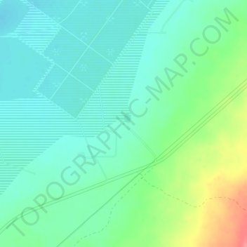
Name: Dirty Socks Hot Spring topographic map, elevation, terrain.

Location: Dirty Socks Hot Spring, CA 190, Olancha, Inyo County, California, 93549, United States (36.32939 -117.94941 36.32949 -117.94931)

Average elevation: 3,625 ft

Minimum elevation: 3,556 ft

Maximum elevation: 3,806 ft

Inyo County trails, hiking, mountain biking, running and outdoor activities

Gear up for your next adventure:

🧭Outdoor Navigation Book - Learn advanced navigation skills
🛶Inflatable Kayak - Portable kayak for rivers, lakes, and expeditions
🛌Ultralight Sleeping Bags - Compact down bags for cold nights in the wilderness
🛰️Satellite Messengers - Emergency SOS and two-way messaging for off-grid adventures
📡GPS Antenna Upgrade - Enhance GPS reception in remote terrain

As an Amazon Associate, this site earns from qualifying purchases at no extra cost to you.