Geolocate

Colne Engaine topographic map

Click on the map to display elevation.

About this map

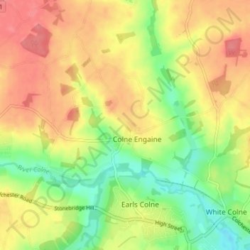
Name: Colne Engaine topographic map, elevation, terrain.

Location: Colne Engaine, Braintree, Essex, England, United Kingdom (51.92731 0.66010 51.95994 0.72512)

Average elevation: 184 ft

Minimum elevation: 69 ft

Maximum elevation: 279 ft

Gear up for your next adventure:

🪶Compact Camp Shovel - Folding shovel for campsite tasks
🛡️Insect Repellent - Protection against bugs during outdoor activities
🪶Fire Starter Kit - Reliable fire starter for survival and camping
🗺️Topographic Maps - Detailed topo maps for hiking, exploring and outdoor navigation
🏥Hiking First Aid Kits - Comprehensive medical kits for remote trail injuries

As an Amazon Associate, this site earns from qualifying purchases at no extra cost to you.