Geolocate

Le Mars topographic map

Click on the map to display elevation.

About this map

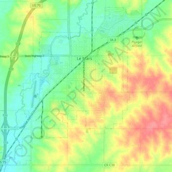
Name: Le Mars topographic map, elevation, terrain.

Location: Le Mars, Plymouth County, Iowa, 51031, United States (42.74967 -96.22828 42.81252 -96.13495)

Average elevation: 1,266 ft

Minimum elevation: 1,168 ft

Maximum elevation: 1,401 ft

Plymouth County trails, hiking, mountain biking, running and outdoor activities

Other topographic maps

Click on a map to view its topography, its elevation and its terrain.

James

United States > Iowa > Plymouth County

Average elevation: 1,194 ft

Gear up for your next adventure:

🗃️Trail First Aid Kit - Essential kit for outdoor injuries and emergencies
🏕️Tent Footprint - Protect your tent base from wear
🧭Compass with Lanyard - Easy‑carry compass for navigation
🌎3D Topographic Globes - Raised relief globes for a tactile understanding of geography
🪶Multi‑Purpose Knife - Useful blade for camp and trail

As an Amazon Associate, this site earns from qualifying purchases at no extra cost to you.