Geolocate

Halter topographic map

Click on the map to display elevation.

About this map

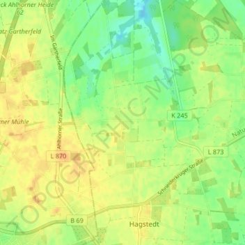
Name: Halter topographic map, elevation, terrain.

Location: Halter, Visbek, Landkreis Vechta, Lower Saxony, 49429, Germany (52.80774 8.23086 52.84774 8.27086)

Average elevation: 187 ft

Minimum elevation: 135 ft

Maximum elevation: 226 ft

Gear up for your next adventure:

🧢Outdoor Hiking Hat - Sun protection hat for outdoor explorers
🔦Compact Flashlight - Reliable flashlight for emergencies
🩹Survival Bandages - High‑quality bandages for emergencies
Camping Coffee Makers - Enjoy premium coffee at the summit or campsite
🪄Magnetic Compass - Accurate compass for navigation

As an Amazon Associate, this site earns from qualifying purchases at no extra cost to you.