
Thank you for supporting this site ❤️
Make a donation
Make a donation
Gear up for your next adventure:
As an Amazon Associate, this site earns from qualifying purchases at no extra cost to you.
P3014 topographic map
Click on the map to display elevation.
Thank you for supporting this site ❤️
Make a donation
Make a donation
Gear up for your next adventure:
As an Amazon Associate, this site earns from qualifying purchases at no extra cost to you.
About this map
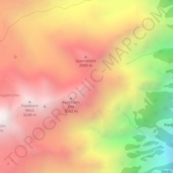
Name: P3014 topographic map, elevation, terrain.
Location: P3014, St. Niklaus, Viège, Valais, 3924, Suisse (46.16886 7.75945 46.18886 7.77945)
Average elevation: 8,346 ft
Minimum elevation: 4,718 ft
Maximum elevation: 10,745 ft
Thank you for supporting this site ❤️
Make a donation
Make a donation
Gear up for your next adventure:
As an Amazon Associate, this site earns from qualifying purchases at no extra cost to you.