
Lebanon topographic map
Click on the map to display elevation.
About this map
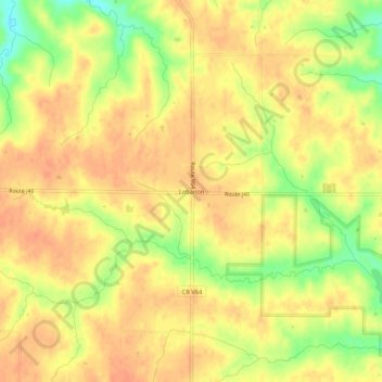
Name: Lebanon topographic map, elevation, terrain.
Location: Lebanon, Van Buren County, Iowa, United States (40.70586 -92.10240 40.74586 -92.06240)
Average elevation: 764 ft
Minimum elevation: 673 ft
Maximum elevation: 804 ft
Other topographic maps
Click on a map to view its topography, its elevation and its terrain.