
North Worcester topographic map
Click on the map to display elevation.
About this map
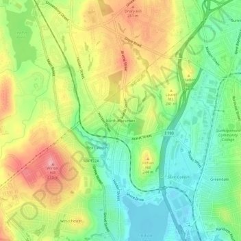
Name: North Worcester topographic map, elevation, terrain.
Average elevation: 709 ft
Minimum elevation: 531 ft
Maximum elevation: 935 ft
Worcester County trails, hiking, mountain biking, running and outdoor activities
Other topographic maps
Click on a map to view its topography, its elevation and its terrain.
Becker Field
United States > Massachusetts > Worcester County > Worcester > Hammond Heights
Average elevation: 528 ft