
Make a donation
Gear up for your next adventure:
As an Amazon Associate, this site earns from qualifying purchases at no extra cost to you.
Grafenschlag topographic map
Click on the map to display elevation.
Make a donation
Gear up for your next adventure:
As an Amazon Associate, this site earns from qualifying purchases at no extra cost to you.
About this map
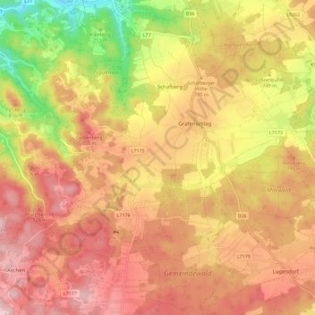
Name: Grafenschlag topographic map, elevation, terrain.
Location: Grafenschlag, Bezirk Zwettl, Lower Austria, 3912, Austria (48.45626 15.10582 48.52883 15.21788)
Average elevation: 2,507 ft
Minimum elevation: 1,873 ft
Maximum elevation: 2,881 ft
Make a donation
Gear up for your next adventure:
As an Amazon Associate, this site earns from qualifying purchases at no extra cost to you.
Other topographic maps
Click on a map to view its topography, its elevation and its terrain.
Germanns
Austria > Lower Austria > Bezirk Zwettl > Gemeinde Zwettl-Niederösterreich
Average elevation: 1,982 ft
Make a donation
Gear up for your next adventure:
As an Amazon Associate, this site earns from qualifying purchases at no extra cost to you.