Geolocate

Valley Pellice topographic map

Click on the map to display elevation.

About this map
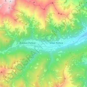
Name: Valley Pellice topographic map, elevation, terrain.

Location: Valley Pellice, Villar Pellice, Torino, Piedmont, Italy (44.79859 7.07860 44.81594 7.20216)

Average elevation: 4,390 ft

Minimum elevation: 1,798 ft

Maximum elevation: 9,367 ft

Gear up for your next adventure:

🏫Relief Map Kits - Hands-on tools for teaching landforms and elevation
🔦Powerful Headlamps - Ultra-bright hands-free lighting for night navigation
⌚Solar GPS Watches - Advanced multisport watches with built-in topographic maps
🪄Magnetic Compass - Accurate compass for navigation
🪶Compact Camp Shovel - Folding shovel for campsite tasks

As an Amazon Associate, this site earns from qualifying purchases at no extra cost to you.