
Thank you for supporting this site ❤️
Make a donation
Make a donation
Gear up for your next adventure:
As an Amazon Associate, this site earns from qualifying purchases at no extra cost to you.
Kalteiche topographic map
Click on the map to display elevation.
Thank you for supporting this site ❤️
Make a donation
Make a donation
Gear up for your next adventure:
As an Amazon Associate, this site earns from qualifying purchases at no extra cost to you.
About this map
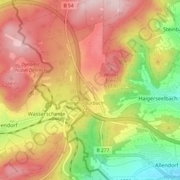
Name: Kalteiche topographic map, elevation, terrain.
Location: Kalteiche, Haiger, Lahn-Dill-Kreis, Hessen, Deutschland (50.74646 8.13504 50.78646 8.17504)
Average elevation: 1,447 ft
Minimum elevation: 906 ft
Maximum elevation: 1,893 ft
Thank you for supporting this site ❤️
Make a donation
Make a donation
Gear up for your next adventure:
As an Amazon Associate, this site earns from qualifying purchases at no extra cost to you.