
Thank you for supporting this site ❤️
Make a donation
Make a donation
Gear up for your next adventure:
As an Amazon Associate, this site earns from qualifying purchases at no extra cost to you.
Tsuruhu topographic map
Click on the map to display elevation.
Thank you for supporting this site ❤️
Make a donation
Make a donation
Gear up for your next adventure:
As an Amazon Associate, this site earns from qualifying purchases at no extra cost to you.
About this map
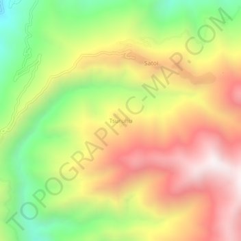
Name: Tsuruhu topographic map, elevation, terrain.
Location: Tsuruhu, Satoi, Zunheboto, Nagaland, India (25.80303 94.54623 25.84303 94.58623)
Average elevation: 6,490 ft
Minimum elevation: 4,406 ft
Maximum elevation: 8,481 ft
Thank you for supporting this site ❤️
Make a donation
Make a donation
Gear up for your next adventure:
As an Amazon Associate, this site earns from qualifying purchases at no extra cost to you.