Geolocate

Georgetown topographic map

Click on the map to display elevation.

About this map

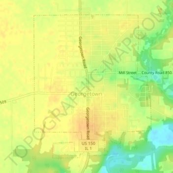
Name: Georgetown topographic map, elevation, terrain.

Location: Georgetown, Vermilion County, Illinois, 61846, United States (39.96523 -87.64658 39.98765 -87.62260)

Average elevation: 666 ft

Minimum elevation: 600 ft

Maximum elevation: 696 ft

Vermilion County trails, hiking, mountain biking, running and outdoor activities

Other topographic maps

Click on a map to view its topography, its elevation and its terrain.

Alvin

United States > Illinois > Vermilion County

Average elevation: 673 ft

Brooks Point

United States > Illinois > Vermilion County

Average elevation: 617 ft

Salt Fork

United States > Illinois > Vermilion County

Average elevation: 679 ft

Gear up for your next adventure:

🔋Solar Power Banks - Keep your GPS and phone charged in remote wilderness areas
🎒Trail Energy Bars - High‑calorie bars for hiking energy
🪵Folding Camp Saw - Compact saw for wood and campsite work
🧺Microfiber Travel Towels - Compact and fast-drying towels for trail use
🔥Fast-Boil Camping Stoves - Efficient cooking systems for quick trail meals

As an Amazon Associate, this site earns from qualifying purchases at no extra cost to you.