Geolocate

Santa Marcela topographic map

Click on the map to display elevation.

About this map

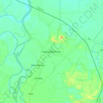
Name: Santa Marcela topographic map, elevation, terrain.

Location: Santa Marcela, Apayao, 3811, Philippines (18.24753 121.39597 18.32753 121.47597)

Average elevation: 43 ft

Minimum elevation: 3 ft

Maximum elevation: 144 ft

Other topographic maps

Click on a map to view its topography, its elevation and its terrain.

Abulug River

Philippines > Apayao

Average elevation: 253 ft

Conner

Philippines > Apayao

Average elevation: 1,339 ft

Gear up for your next adventure:

🧼Biodegradable Camping Soap - Eco‑friendly soap for outdoor hygiene
🔊Portable Camp Speaker - Music and alerts at camp
📚USA Hiking Guide Books - Top trail guides and map books
🔥Camping Stove - Portable stove for camping and backcountry cooking
Backpacking Tents - Weight-optimized shelters for multi-day topographic surveys

As an Amazon Associate, this site earns from qualifying purchases at no extra cost to you.