
Chambo topographic map
Interactive map
Click on the map to display elevation.
About this map
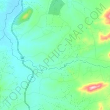
Name: Chambo topographic map, elevation, terrain.
Location: Chambo, Mzimba, Northern Region, Malawi (-11.27921 33.86373 -11.24543 33.94452)
Average elevation: 3,816 ft
Minimum elevation: 3,533 ft
Maximum elevation: 4,869 ft
Other topographic maps
Click on a map to view its topography, its elevation and its terrain.