Thank you for supporting this site ❤️
Make a donation
Make a donation
Gear up for your next adventure:
As an Amazon Associate, this site earns from qualifying purchases at no extra cost to you.
Copper Hill topographic map
Click on the map to display elevation.
Thank you for supporting this site ❤️
Make a donation
Make a donation
Gear up for your next adventure:
As an Amazon Associate, this site earns from qualifying purchases at no extra cost to you.
About this map
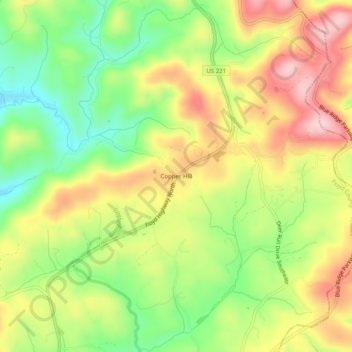
Name: Copper Hill topographic map, elevation, terrain.
Location: Copper Hill, Floyd County, Virginia, 24079, United States (37.06180 -80.15421 37.10180 -80.11421)
Average elevation: 2,736 ft
Minimum elevation: 2,402 ft
Maximum elevation: 3,091 ft
Floyd County trails, hiking, mountain biking, running and outdoor activities
Thank you for supporting this site ❤️
Make a donation
Make a donation
Gear up for your next adventure:
As an Amazon Associate, this site earns from qualifying purchases at no extra cost to you.
