Geolocate

Balal topographic map

Click on the map to display elevation.

About this map

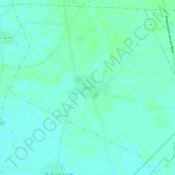
Name: Balal topographic map, elevation, terrain.

Location: Balal, Bhawanigarh Tahsil, Sangrur, Punjab, 148026, India (30.21293 76.02809 30.25293 76.06809)

Average elevation: 797 ft

Minimum elevation: 787 ft

Maximum elevation: 807 ft

Gear up for your next adventure:

🎒Trail Energy Bars - High‑calorie bars for hiking energy
🧣Hiking Neck Gaiter - Multi‑use neck protection for outdoor weather
🥾Hiking Shoes - Durable and comfortable shoes for trail hiking
🔪Outdoor Multitools - Essential survival tools for gear repair and field use
🦶Hiking Gaiters - Keep debris and water out of your boots

As an Amazon Associate, this site earns from qualifying purchases at no extra cost to you.