Geolocate

Llanarth topographic map

Click on the map to display elevation.

About this map

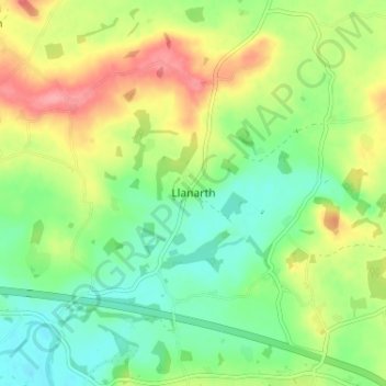
Name: Llanarth topographic map, elevation, terrain.

Location: Llanarth, Monmouthshire, Wales, NP15 2AT, United Kingdom (51.77360 -2.92657 51.81360 -2.88657)

Average elevation: 207 ft

Minimum elevation: 92 ft

Maximum elevation: 377 ft

Gear up for your next adventure:

🎒Hydration Pack - Hands‑free water reservoir for long hikes
🎁Geography Themed Gifts - Unique gift ideas for map lovers and geography enthusiasts
💧Water Filtration Bottles - Safely drink from streams and lakes while exploring
🥾Men's Hiking Boots - Durable, waterproof footwear for rugged terrain and steep inclines
📱Solar Portable Charger - Solar power bank for charging devices off‑grid

As an Amazon Associate, this site earns from qualifying purchases at no extra cost to you.